This walk is from The Home Counties From London by Train by Ordnance Survey
I start this blog in a bad place: writing from memory. I did this walk about a month back, on February 2nd. Since then, my shoes have dried, and the trauma has been processed to the extent that I can write about it.
About an hour from London Bridge, Streatley Station is an unassuming little gateway to the goodness of England’s countryside. Leaving the station, you’ll walk about a kilometre to a small main street, where you cross the Thames; I always love the intricate waterworks you see in the rivers and canals in England, and this was not an exception.
The 18 kilometre walk has a great range of environments you pass through; after a steep climb to the top of a hill overlooking Streatley, you soon cross a golf course, and later you’ll also pass a motocross range; I can only imagine the kind of Midsomer Murders drama that has caused…
After the golfcourse, you follow a very quiet road, later joined by wide unpaved roads.
The path was generally in great condition… but when it was not, it was really bad. My first encounter with a flooded path was around Warren Farm, where a sweet old man suggested I “take compass bearings”, and follow an alternative route, further east. That worked well enough, and a few kilometres later I re-joined the route.
From there, the walk continues along The Fair Mile, a wide bridle way that conjured up images of Victorian lords and ladies riding out, until the noise of the motocross parkour broke that illusion. The kilometre or so along the parkour and the accessway to it are definitely the least pleasant parts of this route, although I wasn’t too fazed by it.
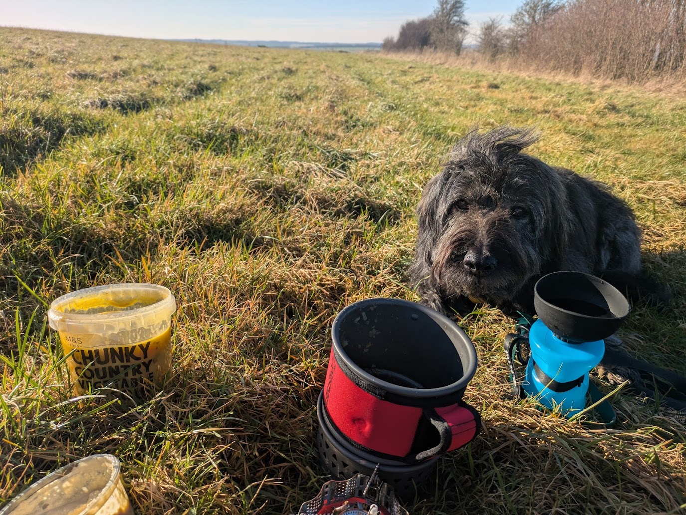
From here, a friend joined me for the final stretch. After a small section along a road (we chose to walk on the adjacent field) and braving the last hill of the route, we crossed through Moulsford to follow the Thames back to Goring. The path along the Thames was muddy at places, but not bad enough to pose difficulties. As you near Goring, the riverbank gets more built-up, and we really enjoyed looking at the various waterfront properties with their boathouses and gardens.
It was then, with the bridge in Goring well in sight and right before we getting back on familiar paths (the route is a circular, with a little tail that you’ll walk both ways), that we encountered the second flooding. The paths in the swampy area along the river seemed to have given way. After concluding there really was no alternative route, we made the poor judgement that our shoes would keep our feet dry enough. I managed to pass the flooded stretch with somewhat moist socks, only to be surprised by a third flooding after the next bend, that soaked my socks through the last thread.
The last hurdle, and thereby also the full walk was rewarded with a cheeky pint at Coppa Club. A decent enough place, although I feel like for a next time I’d look for a place with a more local feel; I guess I can’t complain though, after leaving the place with muddy puddles of Thames water on the floor.
All by all, I really enjoyed this walk! It’s quite diverse, and the paths are really good all over. I’m not sure how the conditions of the paths are the rest of the year, but perhaps it’s worth walking the route counter clockwise, or inspecting the state of the last 300 meter before setting off for the rest of it so you’re not surprised by floodings like we were.
Leave a Reply